Earthquake up to 7.2 hits Myanmar-India border
An earthquake of up to 7.2 in magnitude was detected at the Myanmar-India border region on Wednesday.
According to GEOFON Global Seismic Network, the tremor was estimated at 7.2, while the United States Geological Survey (USGS) reported a 6.9 earthquake in the area.
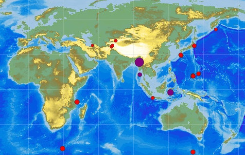
The quake's epicenter was some 100km (62 miles) from the city of Monywa in Myanmar, according to USGS.
A witness cited by Reuters reported strong tremors in the eastern Indian city of Guwahati.
Tremors were also reportedly felt as far away as India's former capital, Kolkata.
Buildings have been evacuated in Kolkata.

The tremor could be felt in the north-east Indian state of Assam, where the Duke and Duchess of Cambridge are staying.
The royal couple, who are staying in a national park, were unharmed.
People in Myanmar's main city, Yangon, in the Bangladeshi capital Dhaka, and in Kolkata in India fled buildings in panic when the tremor struck.
Tremors are relatively common in Myanmar (formerly known as Burma). This earthquake occurred at intermediate depth, according to the USGS, which means it took place within the Indian tectonic plate as it subducts beneath Eurasia.
Contributing sources:
http://www.bbc.com/news/world-asia-36038029
Earthquake up to 7.2 hits Myanmar-India border — RT News
Roy Rohe's Protandim - Saving lives!
No comments:
Post a Comment